Smithsonian Conservation Biology Institute (SCBI)
78.143 W, 38.895 N, 302 m elevation
2008-2012
The Smithsonian Conservation Biology Institute near Front Royal, Virginia is a NEON site and the location of a long-term demography plot established by Bill McShea and colleagues (Bourg et al., 2013). It lies in the Piedmont foothills of the Blue Ridge Mountains. The region was logged and has supported agriculture. We have not sampled the NEON plots, due to high attrition of all-things PVC, which includes seed traps, by black bears.
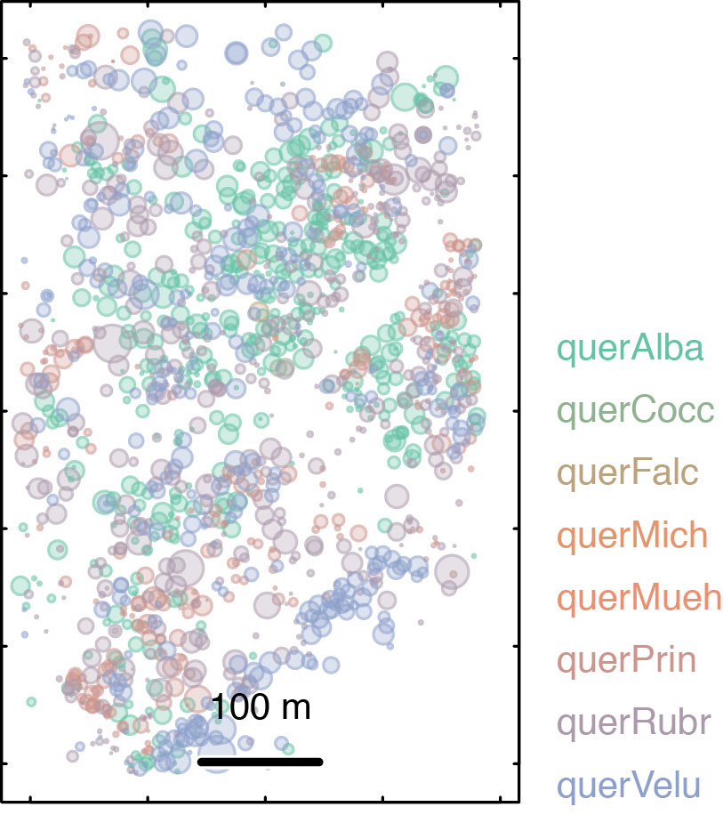
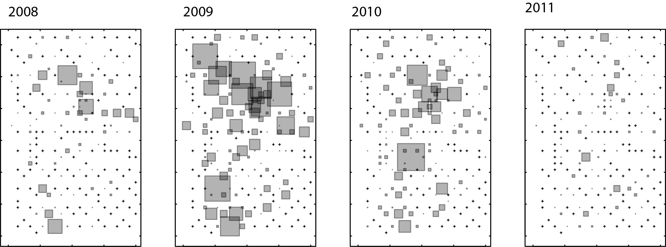
We include in our analysis seed trap data from the Bourg et al. plot, from 2008 – 2012. This site was pastured prior to afforestation. The plot is 25.6 ha and includes 200 seed traps. The SCBI-LFDP site is dominated by Liriodendron, Quercus spp., Carya spp., and many other species.
This data set counts seeds in censored classes. Here are the censored classes used at SCBI:
0 – no seed
1 = 1 seed
2 = 2-5
3 = 6-20
4 => 20
The model mastif accounts for censored data with a cumulative Poisson likelihood.
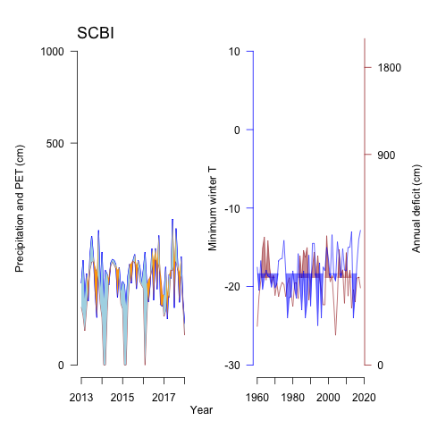
Local climate data were obtained here.
Data description:
Bourg, Norman A., William J. McShea, Jonathan R. Thompson, Jennifer C. McGarvey, and Xiaoli Shen. 2013. Initial census, woody seedling, seed rain, and stand structure data for the SCBI SIGEO Large Forest Dynamics Plot. Ecology 94:2111.